Capital: Mexicali
Área: 71,450 km2
6 municipios
Fundado el 16/1/1952
Habitantes: 3 769 020 (2020)
Hablantes de lenguas indígenas: 48,638 (2020)
BAJA CALIFORNIA
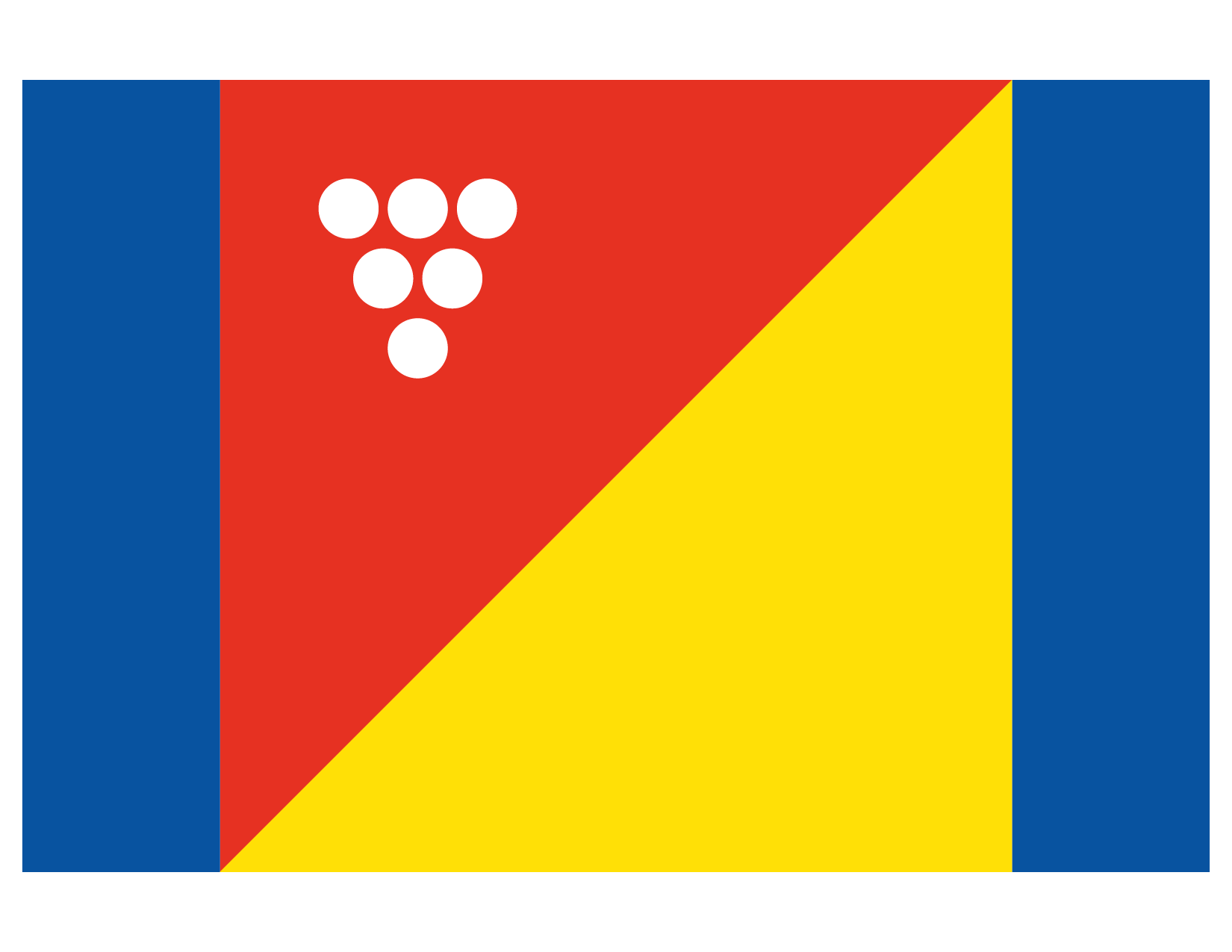
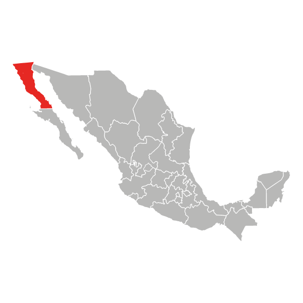
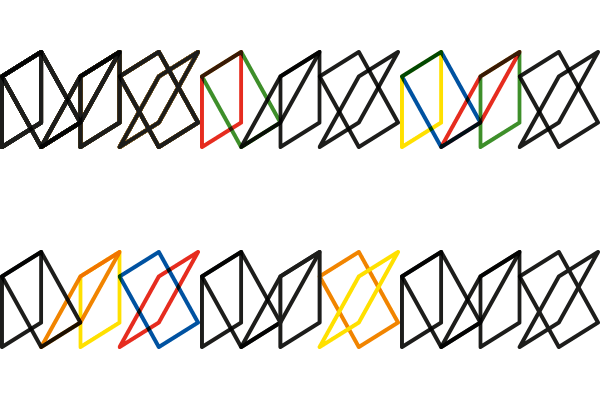
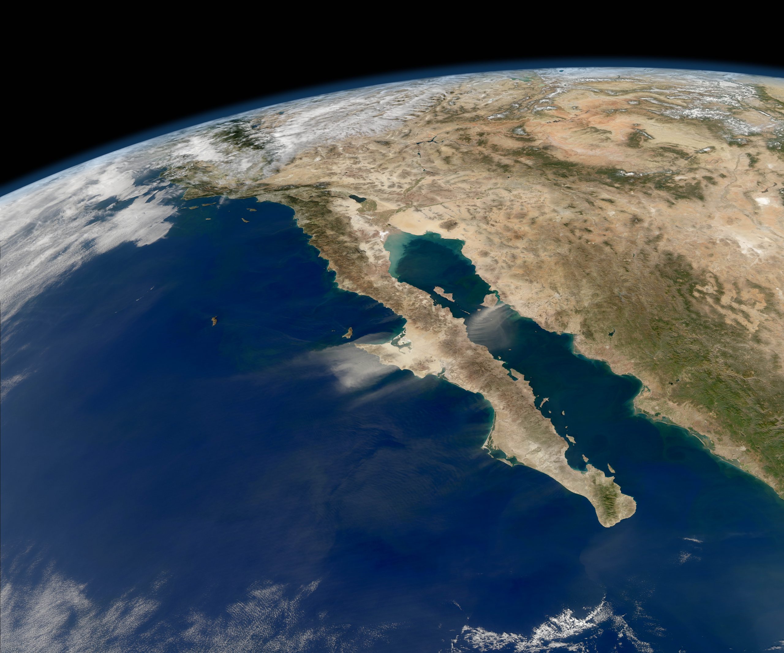
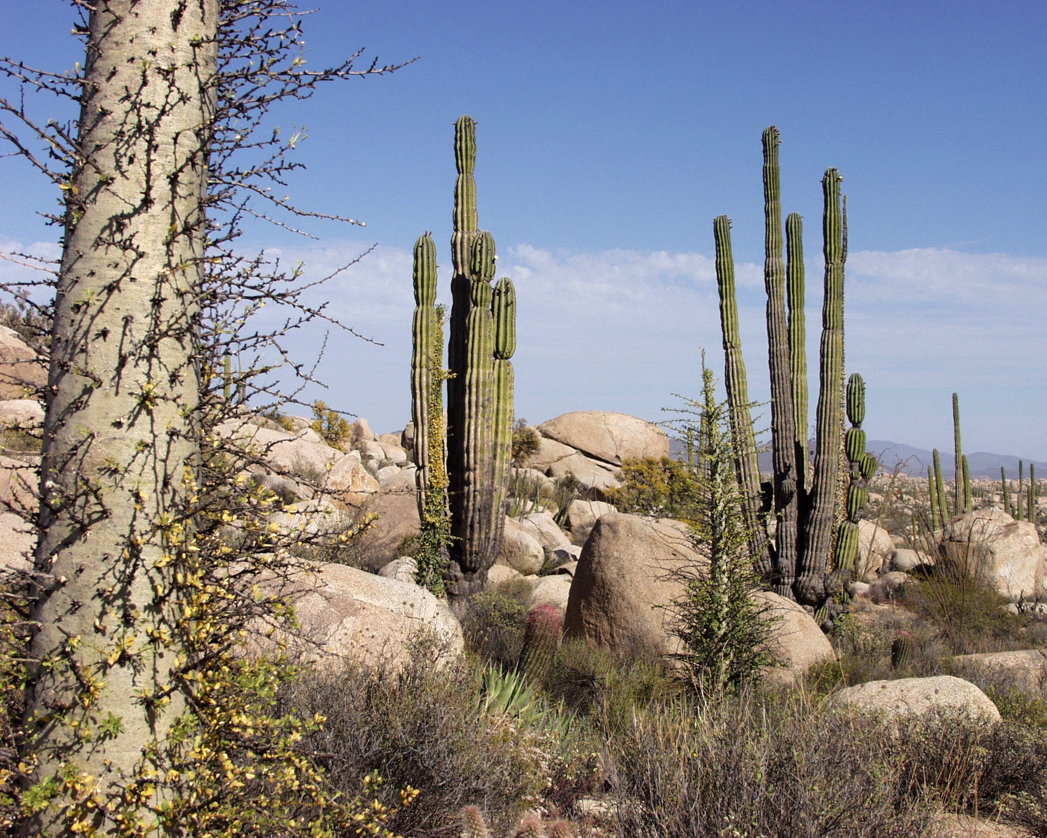
Localizado en la punta noroeste de México, el estado de Baja California se deriva del antiguo Terrirorio de California, que a su vez formaba parte del Reino de la Nueva España. Muy seguido se le llama Baja California Norte, puesto que comparte la península con Baja California Sur, pero este no es su nombre oficial. Inspirada por su geografía y su historia marítima, la bandera está compuesta por dos barras azules en cada lado, que representan el Océano Pacífico al oeste y el Golfo de California al este; y el cuadrado en el centro está dividido en dos partes iguales por una diagonal a 45º, vagamente similar a las Banderas Marítimas de uso internacional. El color amarillo simboliza la geografía predominantemente árida; el rojo que apunta hacia el norte en el sentido de la península y la viña, representan el Valle de Guadalupe, la región vinícola más importante del país.
Situé au nord-ouest du Mexique, l’Etat de Baja California (Basse Californie) faisait autrefois partie du Territoire de Californie, membre du Royaume de la Nouvelle Espagne. On le confond souvent avec le Baja California Norte car les deux Etats se partagent, avec le Baja California Sur, la péninsule de la Basse Californie. Inspiré par sa géographie et son histoire navale, le drapeau se compose de deux bandes bleues aux extrémités du drapeau, à l’image de l’Océan Pacifique et de la mer du Golfe de Californie qui encadrent l’Etat.
Le carré scindé en deux à un angle de 45° offre une vague réminiscence des formes utilisées par le Code international des signaux maritimes. Le jaune rend hommage à la géographie aride qui prédomine dans l’Etat et triangle rouge qui pointe vers le nord et la grappe de raisin rappellent la vallée de Guadalupe, plus grande région vinicole du pays.
Located on the northwestern corner of Mexico, the State of Baja California (Lower California) relates to the former Territory of California, part of the Kingdom of New Spain. It’s commonly mistaken as Baja California Norte as it shares the northern half of the Baja California Peninsula with the State of Baja California Sur, but it isn’t part of its official name. Inspired by its geography and naval history, the flag features two blue pales on each side, representing the Pacific Ocean in the West and the Gulf of California in the East.
The square at the centre is split in two at a 45º angle, vaguely reminiscent of the shapes used by the International Maritime Flag Signs. Yellow represents the predominantly arid geography; the red triangle pointing north and the grapevine stand for the Valley of Guadalupe, the most important wine region in the country.
Baja California by Rediseño México is licensed under a Creative Commons Attribution-NonCommercial 4.0 International License.